
Property-level climate and nature intelligence at scale
Proprietary environmental datasets for investment, planning, resilience and regulatory disclosure.

Move beyond reporting. Measure risk. Prioritise action. Create resilience.
Coarse data
Miss risks hidden within individual assets.
Climate-only view
Miss nature risks shaping asset value.
Not usable in decisions
Reports inform, but rarely drive action.
Property-level precision
Reveal risks and opportunities asset by asset.
Climate + nature combined
See the complete environmental risk picture.
Built for real-world action
Turn insight into resilient decisions.
A new generation of environmental intelligence
Trusted data. Scalable insight. Better decisions.

BiodiversityView
Donec et metus mollis, ultricies est at, ultricies nulla, praesent porta, magna vitae dapibus pharetra, erat eros efficitur nunc, in mattis lectus libero a velit.

HeatView
Assessment of heat stress exposure at property level
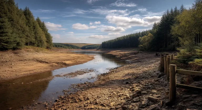
DroughtView
Indicators of drought and subsidence susceptibility
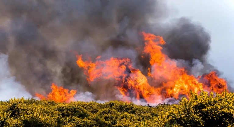
WildfireView
Wildfire risk based on environmental and land conditions
Scalable Delivery
Data Licensing
Ut egestas semper magna ac condimentum, sed at purus at sem aliquet luctus, nullam quis arcu in magna pulvinar tincidunt, phasellus ac ultricies ex, vel.
API Access
Ut egestas semper magna ac condimentum, sed at purus at sem aliquet luctus, nullam quis arcu in magna pulvinar tincidunt, phasellus ac ultricies ex, vel.
Portfolio Analytics
Ut egestas semper magna ac condimentum, sed at purus at sem aliquet luctus, nullam quis arcu in magna pulvinar tincidunt, phasellus ac ultricies ex, vel.
Enterprise Integration
Ut egestas semper magna ac condimentum, sed at purus at sem aliquet luctus, nullam quis arcu in magna pulvinar tincidunt, phasellus ac ultricies ex, vel.
Our Aim
Map Impact is building the environmental intelligence layer for the built world, combining climate and biodiversity data into decision-ready insights for every asset.
Insights & Resources
The latest thinking on climate risk, biodiversity, regulation and resilience.
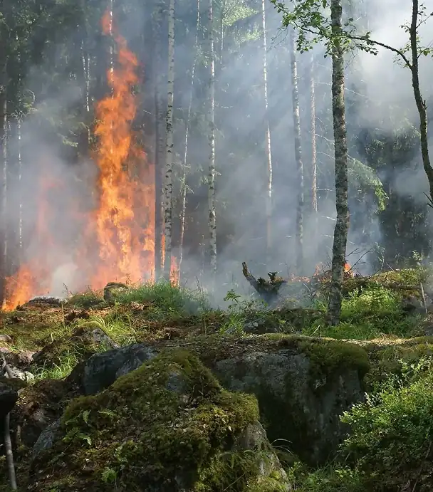
Places for People
WildfireView assessed wildfire susceptibility across a national housing portfolio, helping identify concentrations of exposure and support targeted resilience planning.

Perception White Paper
UK climate risk remains too focused on flood, obscuring the growing impact of drought and subsidence. Drought is now a widespread, slow-onset risk affecting far more properties than traditionally recognised.

Impact Analysis: Livv Housing Group
Livv Housing used HeatView to assess heat exposure across 13,000+ homes in the North West of England.
Windermere Catchment Analysis
Our combined analysis of data and stakeholder insights revealed a clear link between human activity, climate change and the rise of harmful algal blooms.
Proven Across Sectors
Trusted by financial institutions, property owners, infrastructure operators and public sector organisations.

“The Map Impact Team have met our challenge and given us a strong foundation for Wiltshire’s nature recovery.”

“We selected Map Impact for their property-specific climate risk data
products, which enables our clients to fulfil their compliance obligations.”

“The insights relating to heat risk delivered by Map Impact provide a critical component of a climate modelled future.”