
WildfireView
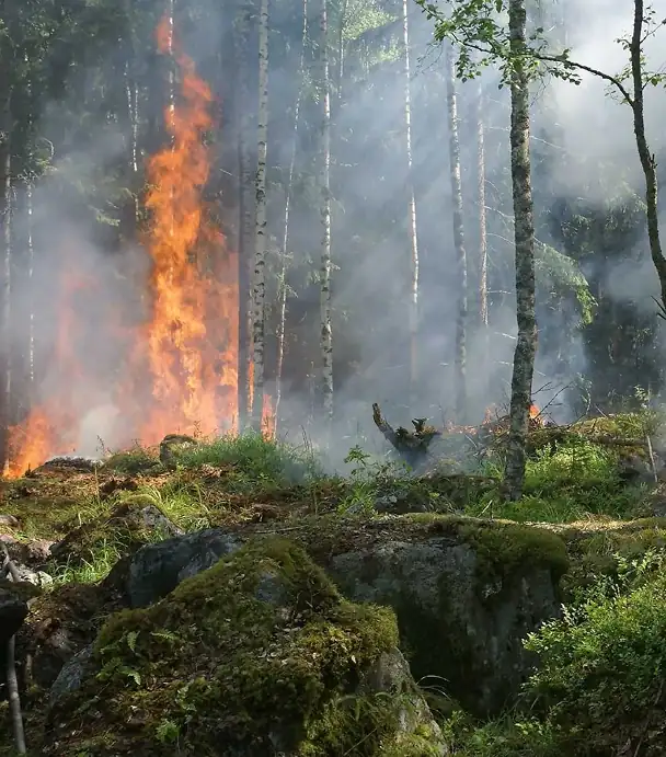
Wildfire is an emerging climate hazard in the UK, requiring proactive risk assessment and resilience planning.
Property-level wildfire intelligence indicating the relative susceptibility of locations to wildfire conditions under current and future climate scenarios.

What WildfireView Delivers
Asset Scale Wildfire Intelligence
Identify locations with elevated wildfire susceptibility at a scale aligned to real-world assets.
Nationally Consistent Risk Screening
Compare wildfire hazard consistently across portfolios, regions and geographies.
Future Climate Scenarios
Assess how wildfire susceptibility may change under future climate conditions.
Transparent Hazard Scores
Clear, explainable classifications designed for governance and decision-making.
UK-Wide Coverage
Consistent wildfire intelligence across the entire United Kingdom.
Enterprise-Ready Delivery
Available through GIS layers, APIs and data services.
Model Characteristics
Hazard-only output
Measures wildfire susceptibility without assumptions about ignition, fire spread or financial loss.
Native modelling approach
Built from observed environmental conditions, avoiding artefacts associated with coarse downscaling.
Transparent and auditable
Explainable methodologies suitable for governance, validation and regulatory reporting.
Sector Applications
Financial Services & Insurance
Quantify wildfire hazard across portfolios to strengthen ECL assessment, climate stress testing, underwriting and regulatory compliance with PRA SS5/25.
Local Government & Planning
Pinpoint vulnerable locations, strengthen resilience planning and support climate adaptation strategies.
Conservation & Land Management
Protect habitats and natural assets by prioritising interventions in areas of elevated wildfire exposure.
Emergency Services & Civil Protection
Support preparedness planning and proactive resource allocation before wildfire events occur.

How It Works
WildfireView combines Earth Observation data, land cover, habitat condition, terrain, historical wildfire records and climate projections to model the environmental conditions that influence wildfire susceptibility.
The model also integrates indicators of human activity and population patterns, reflecting the role people play in wildfire occurrence and spread. Outputs provide a consistent measure of relative wildfire hazard, enabling screening, comparison and decision-making across assets, portfolios and regions.
Places for People
WildfireView assessed wildfire susceptibility across a national housing portfolio, helping identify concentrations of exposure and support targeted resilience planning.
- 4,000 homes assessed
- Property-level hazard scoring applied consistently across regions
- Identified concentration of exposure within higher susceptibility bands
Why WildfireView?
Setting a new standard for climate resilience intelligence.
Designed for decision-making
Supports financial, infrastructure, and land management workflows
Consistent and comparable
Benchmark assets, portfolios and regions using a common framework.
Transparent and defensible
Support governance, validation and audit requirements with confidence.
Addresses an emerging UK risk
Extends climate hazard assessment beyond traditional flood-focused approaches.