
New partner Raven Housing Trust helps to showcase nationwide biodiversity tool

Map Impact has partnered with Raven Housing Trust, to demonstrate how an innovative new tool can be used to improve biodiversity on England’s housing estates.

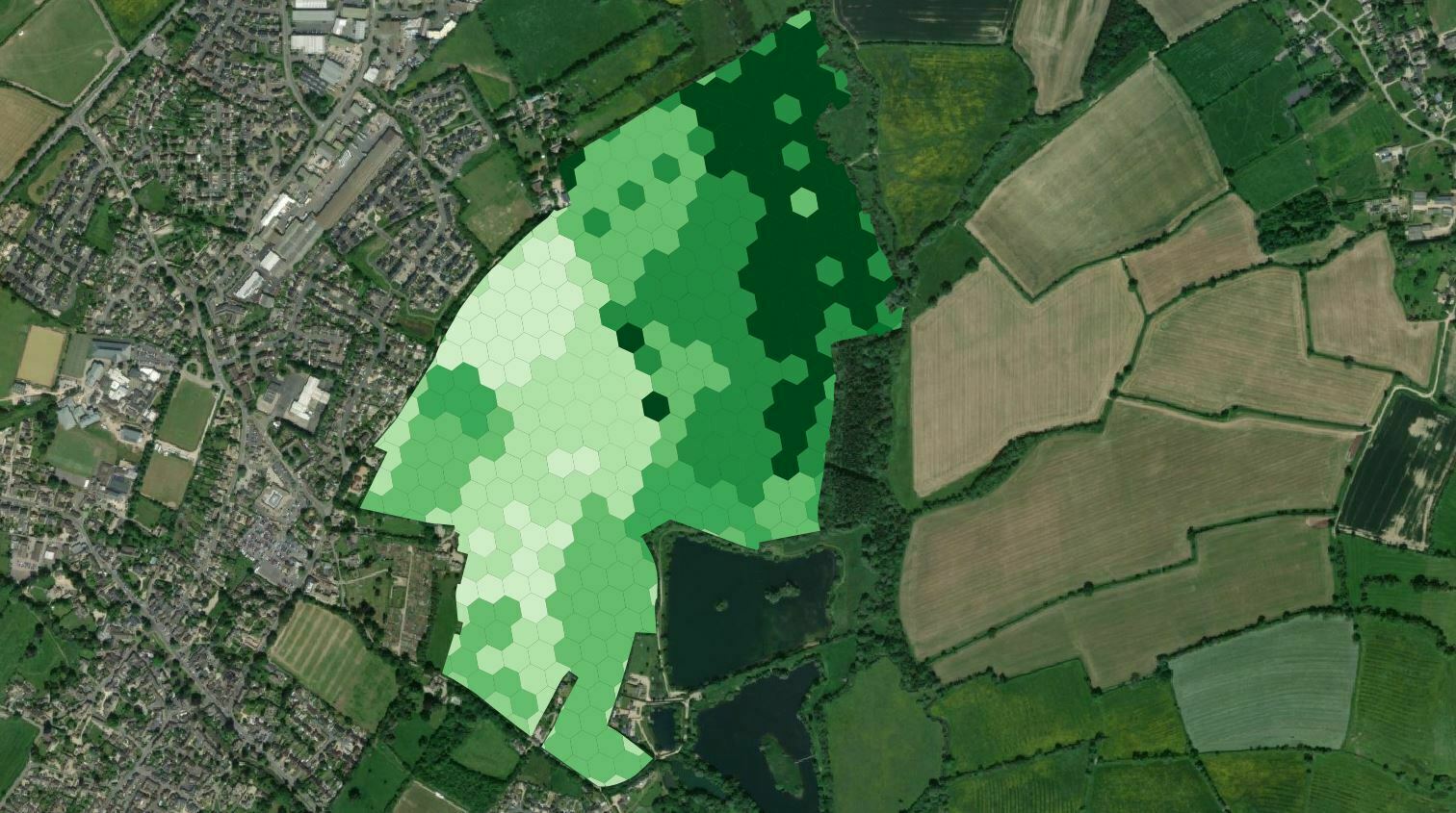
During the Biodiversity Net Gain webinar hosted by Disruptive Innovators Network, the Surrey-based affordable housing provider’s Tadworth development was used to showcase how Map Impact’s nationwide biodiversity measurement and monitoring technology can track performance against nature-based targets.

The service, launched this month in-line with The Government’s Biodiversity Net Gain legislation, is primarily based on outputs from satellite data, providing rapid screening of landscapes across the country, and the ongoing collation of analytics to evidence environmental improvements.

It indicates the baseline status of biodiversity on estates, and their neighbouring regions, so that tailored interventions can be implemented to increase the presence of nature on new and existing developments, benefitting both the environment and residents.

The tool will also help housing providers to achieve their Environmental, Social, and Governance aims, meaning they will be eligible to borrow money from lenders at preferential interest rates, enabling them to invest in building more much-needed new homes.

Ali Bennett, Executive Director of Homes at Raven Housing Trust, said: “It is great to be working alongside Map Impact to demonstrate the positive effect this innovative new tool will have on England’s existing and future housing developments. Having access to constantly updated, granular detail regarding the level of biodiversity on different housing sites will be instrumental in shaping housing providers’ planning process and strategy creation as the sector journeys towards achieving its goal of becoming net zero carbon. Being led by data-driven, tailored solutions relating to individual estates will enable us to not only benefit the natural world it will also bring significant rewards for residents and local communities.”

Richard Flemmings, Chief Executive Officer of Map Impact, added: “It’s been a pleasure working with Raven Housing Trust to support their ambitions for nature and biodiversity enhancement in their communities. Consistent and objective monitoring of biodiversity is critical to ensure the success of incoming government environmental legislation, as well as providing evidence that nature-based goals are being met. Map Impact’s BiodiversityView product provides rapid screening and monitoring to help to target nature-based interventions anywhere in England.”

“Showcasing this technology in a Disruptive Innovators Webinar aligns exactly with Map Impact’s principles of a highly collaborative approach to getting new and innovative technologies into the hands of those that need them”
BiodiversityView launches alongside an exciting new partnership

Map Impact, the pioneering environmental services data provider, is delighted to announce the launch of its BiodiversityView product and a partnership agreement with UKHab.

New Environmental legislation is focussed on improving land habitat biodiversity and is demanding increased attention on the state and condition of existing habitats. Land users and developers are now having to account for imposed requirements, such as Biodiversity Net Gain and Nutrient Neutrality, which require an early assessment of existing site biodiversity and habitat condition. Bristol based Map Impact can now provide this through its innovative BiodiversityView, a product that uses satellite derived data analysis and assessment, delivered by remote means that negates the need for an initial onsite visit.

BiodiversityView has been developed to align with the UK Habitat Classification, which covers terrestrial and freshwater habitats throughout the UK. This classification, first published in 2018, has created a unique, integrated hierarchical system that allows habitats to be described consistently whether from field or remote-sensed data. The UKHab system is adopted by statutory bodies, such as Natural England and DEFRA, and widely used by professional ecologists. Agreeing a partnership with UKHab has been a key step in the design and development of BiodiversityView.

“The launch of our innovative BiodiversityView product will help land and freshwater stakeholders to understand the condition of existing habitats in their areas of interest. As these assessments can be undertaken remotely, it will be a more cost-effective and timely alternative approach for an initial screening. Ecologists are a scarce resource, and we believe that using latest technology enables ecology professionals to deal with the more detailed planning that follows a remote base-line assessment. We are also delighted to be partnering with UKHab, which ensures that the BiodiversityView data outputs conform to the UKHab Classification System.” Richard Flemmings, CEO 

Bob Edmonds, Director UKHab, said: “With an increasing focus on nature recovery across the UK, and significant new legislation in England coming into force in January 2024, it is essential that we swiftly adopt robust and consistent approaches to habitat survey, assessment and monitoring. We are very pleased to welcome Map Impact into the UKHab Partner Programme with its BiodiversityView screening product and can see huge value in this remote-sensed habitat dataset supporting the data derived from professional field surveys to inform a wide-range of development and land-use planning decisions.”

New partnership with Landmark Information Group

Map Impact, the pioneering environmental services data provider, is delighted to confirm that it has entered into an Agreement with Landmark Information Group to supply locational habitat data into Landmark’s BiodiversityCheck report, launched this week. Legislation mandates that from January 2024 new property developments must deliver a minimum 10% improvement in biodiversity on a developed site in order to achieve planning consent. This requires an early assessment of existing site biodiversity, which Bristol based Map Impact can deliver through the innovative use of satellite derived data analysis and assessment delivered by remote means that negates the need for an initial onsite visit. Announcing the Agreement Richard Flemmings, CEO Map Impact commented: “We’re delighted to be supplying key data to Landmark under an Agreement that has enabled the parties to work in collaboration to bring this exciting new product to market. The application of new technology and methods has enabled us to develop some cutting-edge environmental reporting tools that will underpin new legislation – Biodiversity Net Gain (BNG) – and lead to an improvement in biodiversity.” Alex Wrottesley, Managing Director Landmark Geodata, said: “BNG legislation has required us tobring a new product to market, which fulfils the early site assessment needs of developers, landowners and environmental professionals working within the planning process. To achieve a timely product development, we sought a supplier that could collaborate and respond to our very specific requirements, and the Map Impact team has exceeded all our expectations. Our client feedback from a number of test sites has been very favourable, and the product very well received.” The Agreement between Map Impact and Landmark Information Group allows for ongoing collaborative development work around environmental risk reporting and the supply of digitalised environmental data.

Major new partnership & data collection project

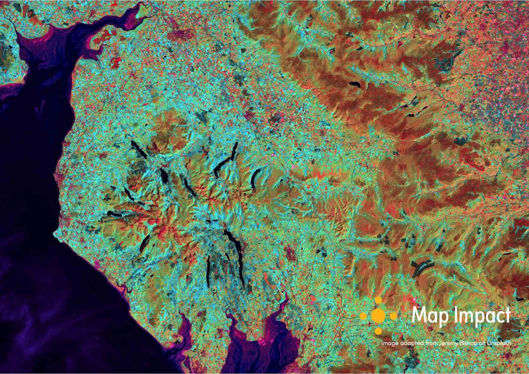
Map Impact has partnered with Save Windermere and the UK Space Agency in what we believe is the most innovative data collection project ever constructed to study the inputs into England’s most iconic body of water, Windermere.

This will be the most extensive scientific study formulated for Windermere. The project will use satellite earth observation tools, together with human activity data from anonymised cellular networks, to objectively and independently analyse how and why Lake Windermere suffers from poor water quality and continued pollution.  As England’s largest freshwater body, this popular tourist destination is famed for its natural beauty and assets, which are increasingly threatened by the state of the lake and its sources – issues that have drawn continued national media attention.

The project runs from September 2023 through to March 2024 and will provide regular progress reports to the project sponsor and grant provider UK Space Agency.  The project’s aim is to identify the issues and causes of catchment-wide freshwater degradation, together with proposing potential solutions for the future effective protection and management of freshwater resources.

“Windermere’s adaptability to climate change is compromised due to the absence of an action plan for long-term lake preservation. The major cause of Windermere’s decline is sewage contamination. This powerful project brings meticulous data-driven evidence collection, enabling us to quantify the impact of pollution on the quality of Windermere’s water. It will supply concrete evidence on the profound ecological impacts of sewage on our lake.”

Save Windermere Founder, Matt Steniek

Silicon Gorge Winners

It’s not often you hear of a company launching and gaining its first win almost immediately. But that’s exactly what happened to us at Map Impact.

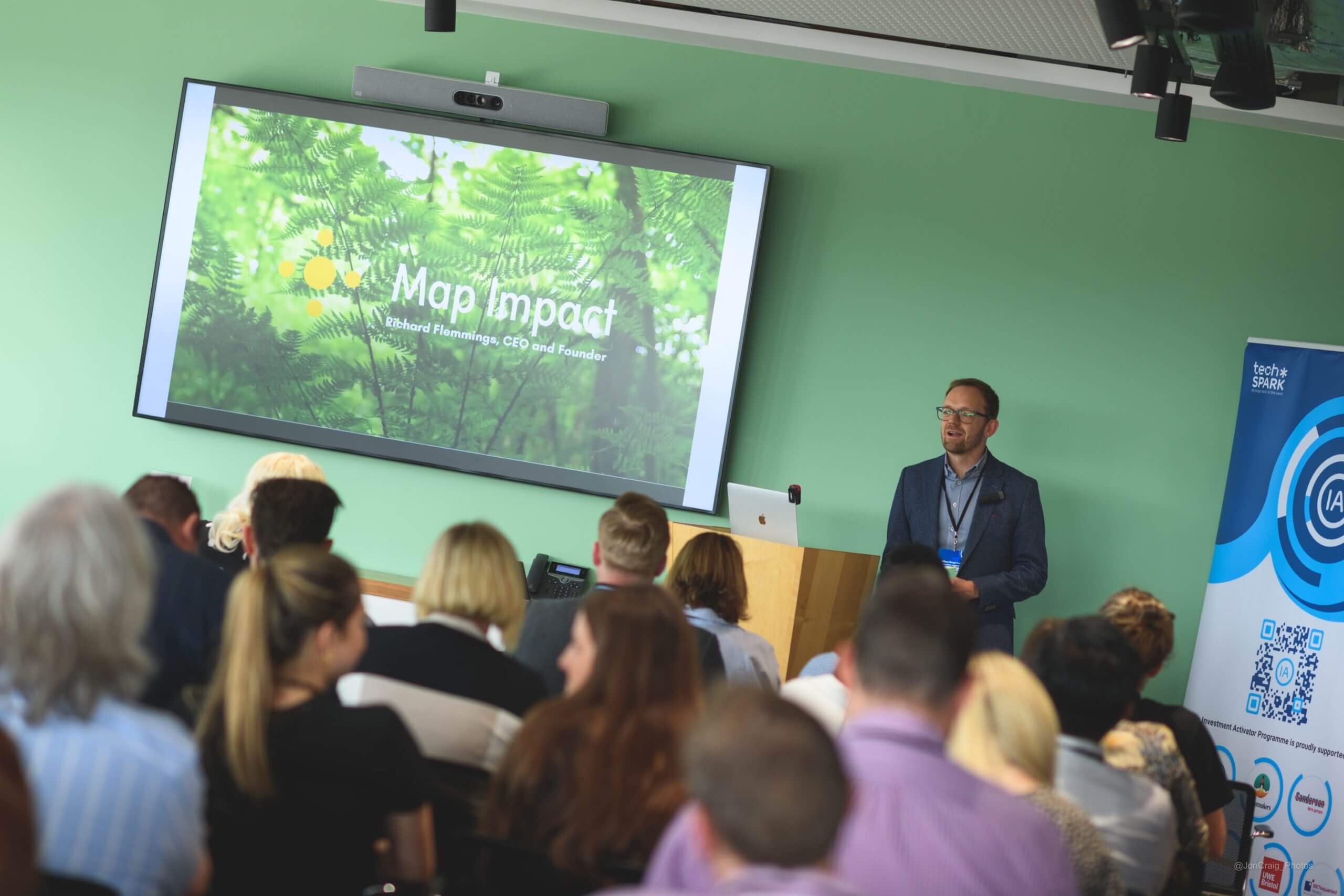
We were honoured to be selected from such a high calibre of applicants involved in #SiliconGorge , a pioneering concept helping fast-growing startups in the South West of England and South Wales, to make it to be one of 24 finalists and ultimately part of the 13 strong winning cohort.

Not only did the opportunity give us the chance to learn and gain insight from experienced investors interested in our work but we’re also lucky enough to benefit from the exposure of being part of the techSPARK uk family.

If you’ve like to hear more about becoming an investor in Map Impact or one of our beta test partners do get in touch.

Read more here.